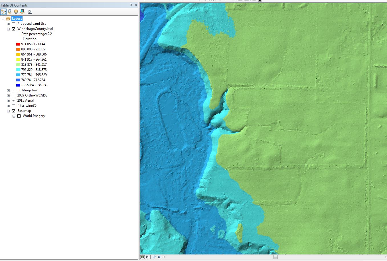
LiDAR or Light detection and ranging is remote sensing technology that captures extremely high resolution data. LiDAR can be captured for many different applications from 3D building models to more common topographic land survey. Winnebago County acquired its first LiDAR data in 2018 and has been using the high resolution elevation data to create more accurate engineering designs. The ability to create highly accurate designs in the office helps to speed design time by limiting the amount of time spent in the field gathering data. While LiDAR data will never replace doing field surveys, it has allowed us to be more efficient in the time spent in the great outdoors!
You have free access to download LiDAR data here
Some examples of LiDAR data being displayed are below: